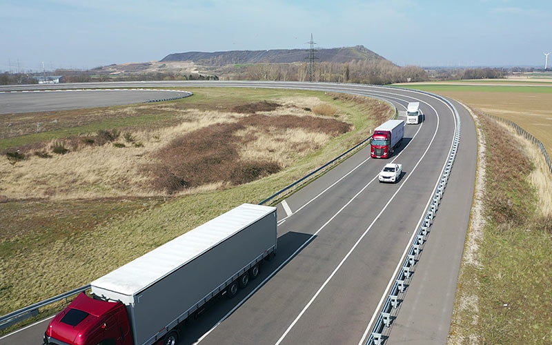
High-resolution digital map data provides important support in designing future driver assistance systems and automated driving functions safely. It offers the following possible applications:
- Map as a reference for tests in the vehicle
- Comparison of maps as a reference for the data recorded in the test vehicle
- Basis for scenario extraction from test vehicle data
- Basis for simulation applications
- Basis for sensor simulations
- Basis for driving simulator applications
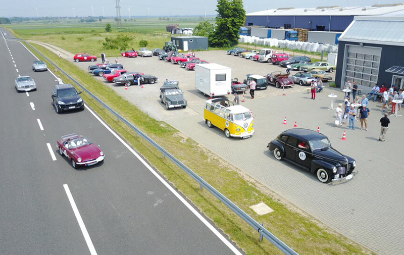
Digital data from the Aldenhoven Testing Center is available from 3D Mapping Solutions.
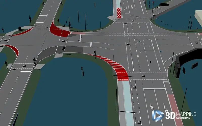
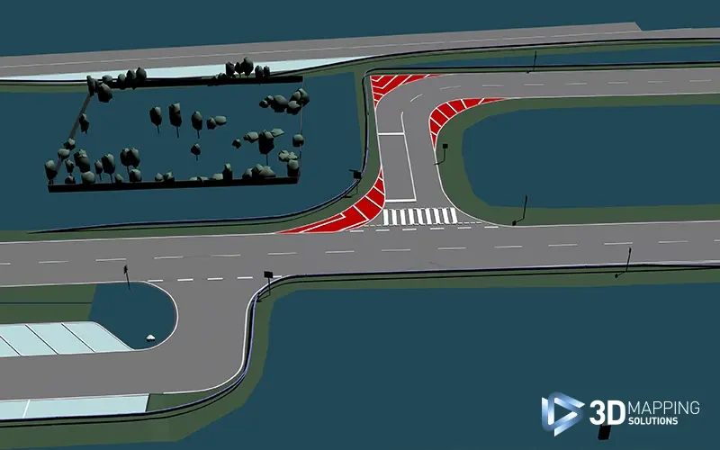
The company recently had the exciting task of creating a new HD map for our urban environment and our handling track. The high-precision map in ASAM OpenDRIVE® format will support the project partners of 3D Mapping Solutions in the validation and demonstration of autonomous driving functions as part of the STADT:up research project funded by the German Federal Ministry for Economic Affairs and Energy. In this joint project, 20 partners from the automotive industry, suppliers, and research institutions are working together to advance fully automated driving in urban environments. The goal is to develop AI-driven and data-based models as well as innovative interaction concepts and test them in challenging traffic scenarios. The project began on January 1, 2023, and is now in its final phase. In a few months, the comprehensive research results will be presented in a large-scale live demonstration at our test site.
![[]](/images/blog/2025/3d-mapping/3d-mapping-01.webp)

